
-
 Open your account online within 24 hours
 -
 Nationwide, next day delivery available
 -
 Over 200 locations near you
GNSS Systems
GNSS surveying systems combine state-of-the-art technology with powerful data management capability to receive and process satellite signals for highly accurate geographic positioning. Leica GNSS is a complete range of versatile solutions that offers both fully integrated and totally modular systems. To provide ultimate flexibility, the Leica Viva range takes advantage of four major satellite constellations: GPS (American), GLONASS (Russian), Galileo (European) and Compass (Chinese).
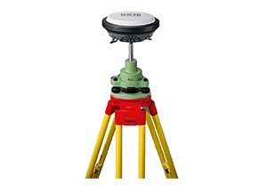
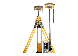
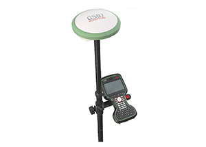
Base & Rovers
Base Stations
NetRovers
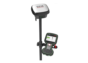
SmartRovers
Text placeholder