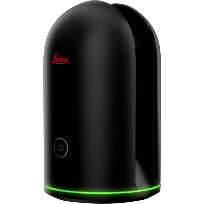
Leica BLK360 Imaging Laser Scanner
Product Code: 196155
The Leica BLK360 is the world’s smallest imaging laser scanner, simplifying the collection of accurate 3D imagery and measurements.
The BLK360 shoots 360? high dynamic range (HDR) spherical imagery and combines it with an accurate 3D laser point-cloud.
Minimum hire period: 1 day
- 0.5 - 60 metre range, optimised for both indoor and outdoor use
- Designed to simplify the reality capture process, it has only one button and produces digital reality data in under 3 minutes
- In addition to its LIDAR (Light Detection and Ranging) sensor the BLK360 offers infrared sensors for thermal imaging and 360? images
- Lightweight and small enough to fit into your hand.
- The BLK360 shoots 360? high dynamic range (HDR) spherical imagery and combines it with an accurate 3D laser point-cloud
- Uses ReCAP Pro 360 mobile app, to stream image and point cloud data to an iPad. The app filters and registers scan data in real-time and enables the point cloud data to be transferred to a number of CAD, BIM, VR and AR applications
| Make | Leica Geosystems |
| Model | BLK360 |
| HDR Imagery | Yes . |
| Max Data Range | 60 metres |
| Max. Scan Rate | 0.36 Million points /s |
| Mobile Mapping | No . |
| Onsite Registration | Yes . |
| Onsite Target Acquisition | No . |
- Features & benefits
- Specifications
- Safety & downloads
- 0.5 - 60 metre range, optimised for both indoor and outdoor use
- Designed to simplify the reality capture process, it has only one button and produces digital reality data in under 3 minutes
- In addition to its LIDAR (Light Detection and Ranging) sensor the BLK360 offers infrared sensors for thermal imaging and 360? images
- Lightweight and small enough to fit into your hand.
- The BLK360 shoots 360? high dynamic range (HDR) spherical imagery and combines it with an accurate 3D laser point-cloud
- Uses ReCAP Pro 360 mobile app, to stream image and point cloud data to an iPad. The app filters and registers scan data in real-time and enables the point cloud data to be transferred to a number of CAD, BIM, VR and AR applications
| Make | Leica Geosystems |
| Model | BLK360 |
| HDR Imagery | Yes . |
| Max Data Range | 60 metres |
| Max. Scan Rate | 0.36 Million points /s |
| Mobile Mapping | No . |
| Onsite Registration | Yes . |
| Onsite Target Acquisition | No . |
Why choose Sunbelt Rentals as your hire partner?
-

Guaranteed availability on all of our product ranges whenever you need them
-

Equipment sourced for you from world leading, innovative manufacturers
-

Insurance available to protect you against loss or theft
Text placeholder

 Open your account online within 24 hours
  Nationwide, next day delivery available
  Over 200 locations near you
